About us
Helping organisations harness the power of satellite data
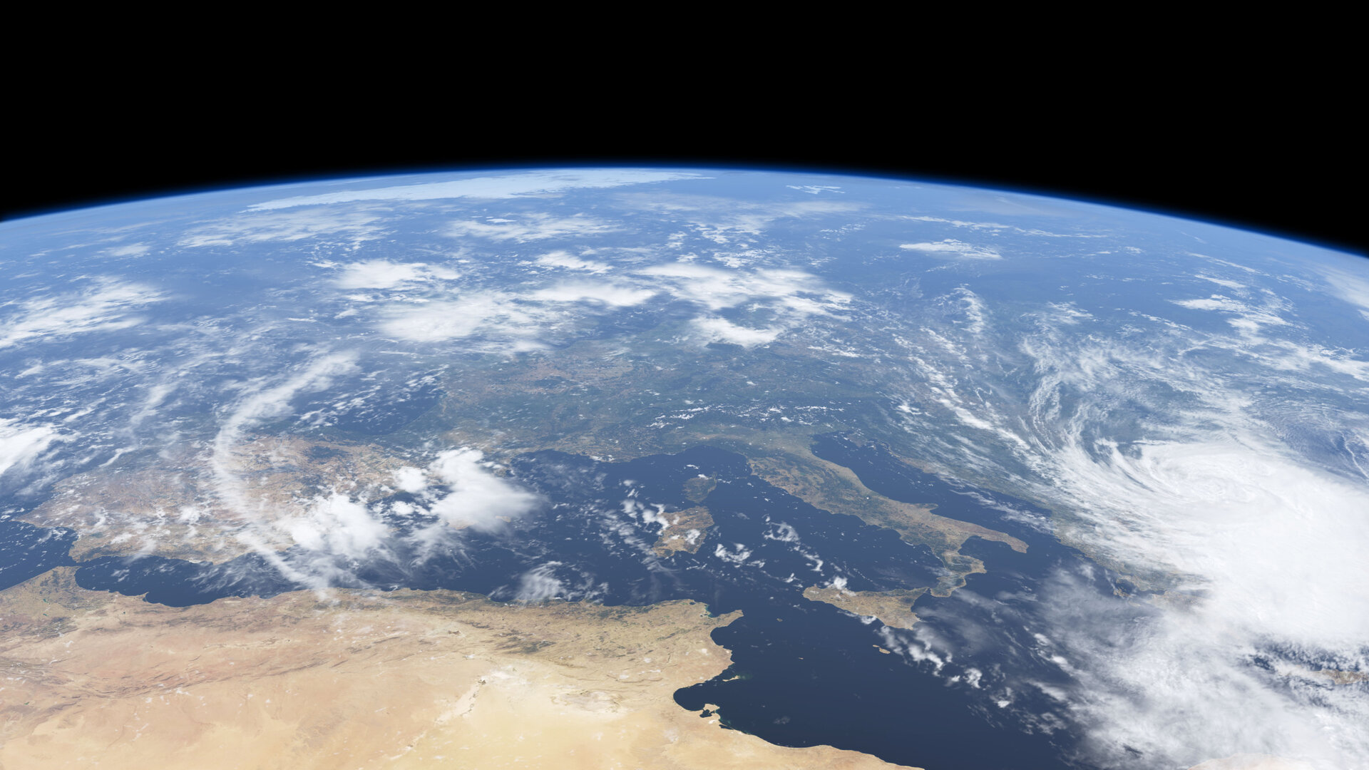
We use cutting-edge technology to process and analyse large amounts of satellite and geospatial data, providing actionable insights to improve operations, increase efficiency and drive growth.
- Keep track of your assets and operations globally, predict future trends and patterns.
- Gain insights from both internal and external data.
- Develop Artificial Intelligence & Machine Learning strategies for your business.
- Implement digital tools with live capabilities for your organisation.
Our team
Our team comprises of experts with diverse backgrounds and skills, including software development, engineering, data analytics, artificial intelligence and machine learning, cloud technology, sensor technology, statistical modeling, remote sensing, dashboard development, and more.
Our services
Geospatial analysis and modeling
We use advanced techniques to analyse and model geospatial data, providing insights and predictions for our clients.
Custom mapping dashboards
We create custom dashboards with maps and visualisations to help our clients understand and communicate their data.
Satellite imagery analysis
We use satellite imagery to extract insights and make informed decisions.
Geospatial data analytics
We use advanced techniques to extract insights from geospatial data, such as spatial statistics, spatial interpolation and spatial clustering.
Automation and reporting
Streamlining data pipelines and flows by using automated reports and machine interfaces to facilitate data-driven decision making.
AI & ML
We assist you in integrating Artificial Intelligence and Machine Learning techonology into your organisation's operations.